Space and time, connected
Orbit the valley, pan across the terrain, then scrub in either direction through seven chapters. Landmark presets connect places such as Half Dome and Bridalveil Fall to their geological stories.
Independent case study · 2026
A million years of ice, stone, and life. An interactive atlas for exploring how glaciers shaped Yosemite Valley.
Launch the 3D explorer ↗Browser based · Desktop and touch controls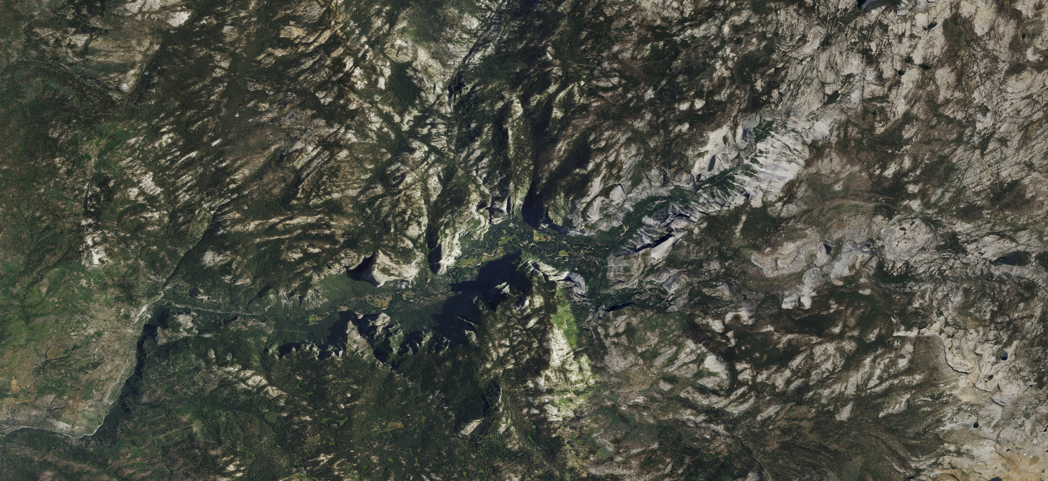 Yosemite Valley, CaliforniaExplore the valley in 3D ↗
The challenge
A static map shows where a glacier reached. A timeline shows when. This project brings both into a navigable view, so visitors follow changes in ice, terrain, and habitat at their own pace.
The central design challenge was to connect spatial navigation, geological time, and scientific uncertainty without burying the valley beneath controls.
Interaction decisions
Orbit the valley, pan across the terrain, then scrub in either direction through seven chapters. Landmark presets connect places such as Half Dome and Bridalveil Fall to their geological stories.
Climate summaries and wildlife profiles change with the selected era. Food and habitat accounts connect animals to streams, meadows, woodland, and exposed ground beyond the ice.
Six NPS trail routes help visitors orient themselves. Layers, relief shading, and camera controls support different ways of reading the same terrain.
Research into an interface
The experience combines USGS elevation and glacial mapping, USDA imagery, NPS trail geometry, and cited ecological accounts. Research links sit inside the explorer, alongside the relevant context.
Modern elevation, aerial imagery, hiking routes, and the USGS Tioga footprint ground the scene in geographic data.
Ice thickness, movement, earlier boundaries, and feeding paths illustrate processes. Modern terrain stays fixed throughout the timeline.
Historical summaries describe broad climate shifts supported by research. The project does not invent local daily weather or precise ancient snowfall totals.
Extinct mammals represent regional fossil evidence. Their inclusion does not establish residence inside Yosemite Valley. Modern animal accounts draw on NPS records.
The result
A working prototype with a reversible timeline, selectable landmarks, habitat exploration, and source links. The project demonstrates how research synthesis and interaction design turn a complex subject into a usable experience.
Keyboard timeline input, touch controls, camera presets, and reduced-motion support provide several ways to explore.
Explore Yosemite Deep Time ↗